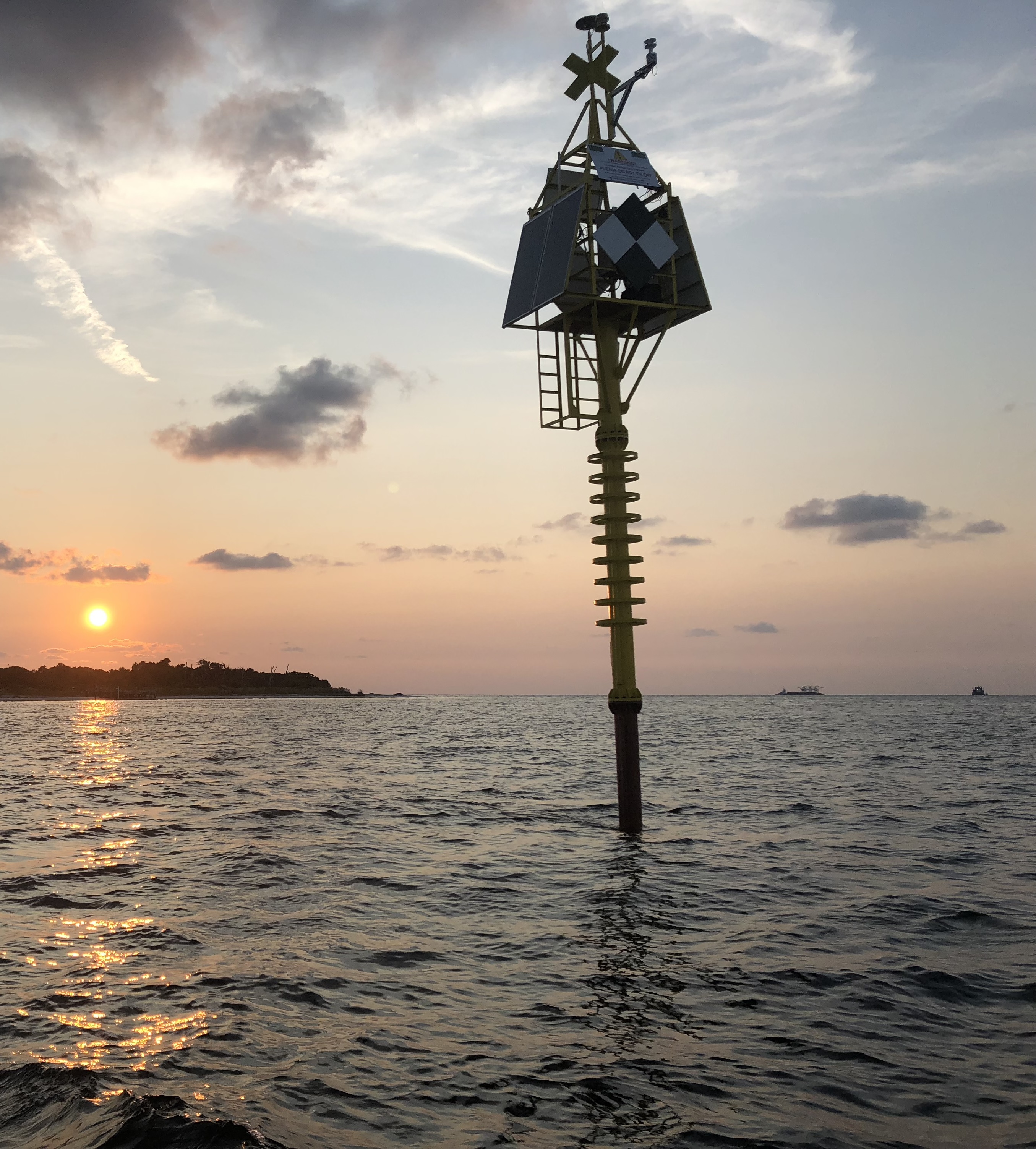
Figure: The buoy with electronics, solar panels and signage installed.
SUBGEO: Shallow Underwater Buoys for Geodesy
The giant earthquakes and tsunamis of 2004 in Sumatra and 2011 in Japan were wake up calls that the Earth Science community needs to improve its ability to forecast these tragic events. Unlike faults exposed on land such as the San Andreas fault, the faults responsible for giant earthquakes and tsunamis occur on megathrusts - faults that only reach the surface in the Earth's deep ocean trenches, for example the ones around the Pacific "ring of fire". While measurement of strain accumulation (deformation of the Earth's surface) can be done on land to high accuracy, and can help scientists forecast the size and location of future earthquakes on land, such measurements are difficult underwater - existing marine technology is expensive and lacks the precision of its on-land counterparts.
Roughly 20%-30% of the critical measurement area that lies between the coastline and the trench is actually quite shallow - less than 150 meters water depth (about 500 feet). At these depths, simple spar buoys anchored to the bottom can potentially be developed that reach the surface and host a high precision GPS unit, similar to equipment currently used on land for high precision geodesy. USF has been funded to design, build and test this type of buoy, and assess its accuracy for measurement of sea floor displacement. This web site describes the scientific motivation for the project, highlights some initial results, and hosts some videos showing deployment of one of the buoys.
Roughly 20%-30% of the critical measurement area that lies between the coastline and the trench is actually quite shallow - less than 150 meters water depth (about 500 feet). At these depths, simple spar buoys anchored to the bottom can potentially be developed that reach the surface and host a high precision GPS unit, similar to equipment currently used on land for high precision geodesy. USF has been funded to design, build and test this type of buoy, and assess its accuracy for measurement of sea floor displacement. This web site describes the scientific motivation for the project, highlights some initial results, and hosts some videos showing deployment of one of the buoys.