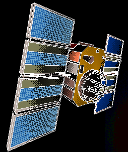
Artist's conception of a GPS satellite orbiting the Earth
The Global Positioning System consists of 24 satellites in 6 orbital
planes around the Earth, a ground-based tracking network to determine accurate
orbital information for the satellites, an uplink system to monitor satellite
health, and occasionally send orbit and time corrections to the satellites,
and a ground-based receiver capable of decoding the GPS timing/ranging signals
to determine the user’s position. The main signal is called the C/A code (for
Clear/Acquisition), modulated onto one of the two sinusoidal carrier signals
(L1, L2) broadcast by the spacecraft. The C/A code has a wavelength of about
10 meters. The L1 and L2 frequencies have wavelengths of 20 and 24 centimeters.
The small hand-held systems most
people are familiar with use the C/A code to determine range (distance) to
several satellites. This is done by measuring a time offset (T) between the
signal’s broadcast time at the satellite and reception on the ground. Knowing
the speed of light (S) the receiver can then determine distance, D (D=S x
T). A minimum of 4 satellites is required to determine the three position
coordinates (x, y, z, or North, East, Up) and a parameter that relates to
possible timing errors (four data, four unknowns). Boaters can get by with
three satellites, since they do not require the vertical coordinate. Typical
position uncertainties are of the order of several meters, limited in part
by the wavelength of the C/A code.
For high precision geodesy, several
modifications to this system are required. First, we use receivers capable
of exploiting both carrier frequencies, to correct for variable ionospheric
delay. The ionosphere speeds up or slows down the GPS signal (depending on
the number and distribution of free electrons in the ionosphere), introducing
errors into our basic range equation (by changing S). Fortunately, ionospheric
effects are frequency-dispersive (different frequencies are delayed by different
amounts), so use of two frequencies allows a first order correction. Second,
in addition to using the C/A code, we also use phase measurements on the carrier
itself. These are inherently more precise because of the smaller wavelengths
involved. Third, instead of observing for a few seconds, we often observe
for several hours or days, averaging down some of the position errors. Finally,
instead of having a small, hand-held receiver compute a simplified position
estimate, we use modern, high speed computers to determine a number of corrections
that could be ignored at the meter level, but become important at the centimeter
or millimeter level. These corrections often involve sophisticated models
of Earth’s surface changes, related to tides, changes in the Earth’s rotation
rate and rotation pole position, and seasonal changes in atmospheric pressure
and rainfall.
A more detailed technical description
of the GPS system can be found at GPS Overview
In addition, UNAVCO, the NSF-funded
consortium supporting GPS activities (University of Miami is a founding member)
maintains a web site with links to numerous GPS-related
web sites